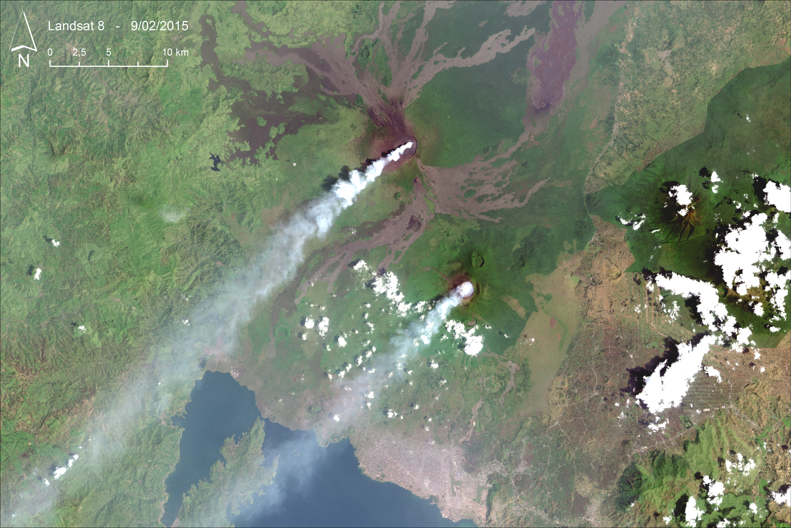
Landsat 8 image acquired on 9th February 2015, over Nyiragongo and Nyamulagira volcanoes.
Image source: USGS EROS Data Center
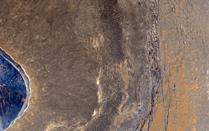
[FR] Le 9 février 2015, le satellite américain Landsat 8 a pris une image exceptionnelle des volcans Nyiragongo et Nyamulagira, tous deux situés dans l’est de la République Démocratique du Congo. L’absence (rare) de couverture nuageuse permet en effet de voir les deux volcans actifs émettre un panache de gaz permanent poussé vers le sud-ouest par les vents dominants. Mais le plus impressionnant provient des bandes spectrales situées dans l’infrarouge. Quand on combine les bandes 5, 6 et 7 de l’image Landsat 8, le lac de lave de chaque volcan apparaît sous la forme d’un halo lumineux (voir image ci-dessous). Profitez bien de cette magnifique image !
—————
[EN] On 9th February 2015, the US Landsat 8 satellite took an exceptional image of Nyiragongo and Nyamulagira volcanoes, both located in Eastern Democratic Republic of Congo. The absence (infrequent) of a dense cloud cover allows to observe these two highly active volcanoes emitting a permanent gas plume driven southwestward by the dominant winds. But, the most amazing thing comes from the infrared spectral bands. When bands 5, 6 and 7 of the Landsat 8 image are combined, the lava lake of each volcano appears as a halo of light (see image hereafter). Enjoy this beautiful image!
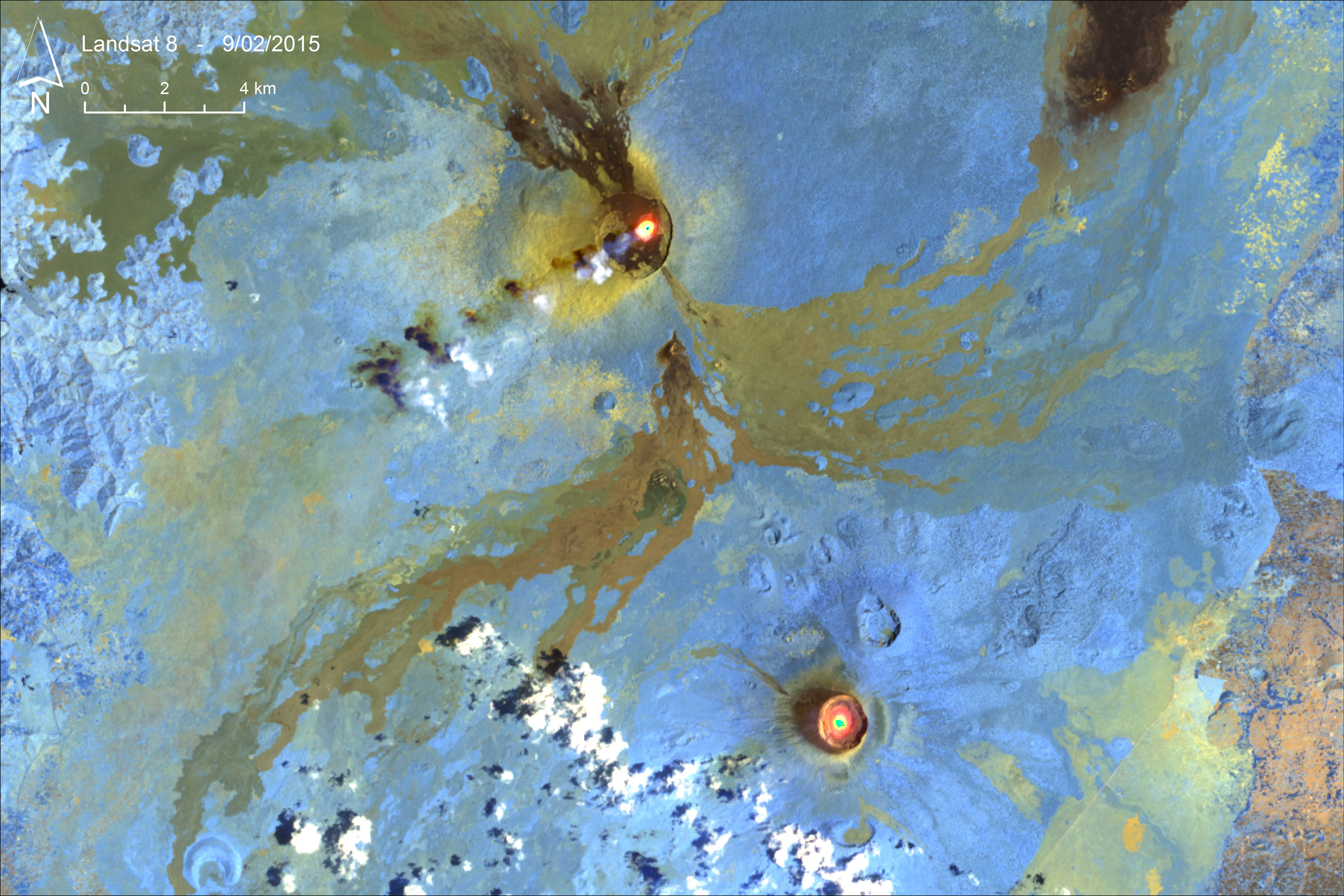
RGB-composite image, with bands 5, 6 and 7 of the Landsat 8 image. Image source: USGS EROS Data Center